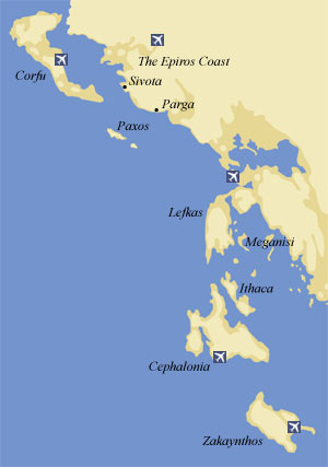
The Ionian islands region includes the prefectures of
Corfu, Lafkada, Zakynthos, Kefalonia and Ithaca.
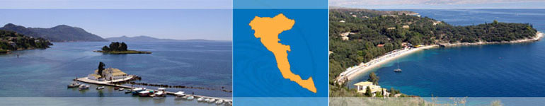
THE IONIAN SEA – WHERE WEST MEETS EAST
The
islands of the Ionian sea stretch along the western coast of the central part of the Greek mainland and further to the south along the western coast of the Peloponnese. They constitute an independent group of twelve small and large islands with their own special character.
Their unique natural beauty, combined with their long history and the blend of all the different cultures and influences which have left their traces on the islands, has endowed each one of them with its own distinctive image.
The
Ionia islands in fact consist of tow separate, individual groups of islands, each with its own character. The northern group is dominated by
Corfu with the Diapontia islands (Othoni – Erikousa – Mathraki – Diapolo and other smaller islands) to the north-west , and Paxos and Antipaxos , with their own constellation of smaller islands, to the south east.
The more densely clustered central group consists of
Lefkada, separated from the mainland by a channel of water, and the islands around it: Skorpios – Kalamos – Skorpidi – Madouri – Meganisi – Sparti – Heloni –
Kefalonia –
Zakynthos and the celebrated Ithaca.